This article contains affiliate links. If you book through them, we may earn a small commission at no extra cost to you. It helps keep Porto Expats free.
In the last article of our Discover Gerês series, we spent a weekend in Castro Laboreiro: crossing the medieval bridges, climbing to the castle and eating Cachena beef at O Miradouro do Castelo. We also mentioned that the village is one of the highlights of the GR 50 – Grande Rota Peneda-Gerês.
This time we stopped talking about it and laced up our boots. We hiked Stage 1 of the GR 50, from the border hamlet of Ameijoeira to Castro Laboreiro, the very first steps of the long-distance trail that loops around Portugal’s only national park.
Our goal: hiking all 19 stages of the GR 50
Stage 1 is just the beginning. The GR 50 is split into 19 stages, from Ameijoeira on the Spanish border all the way to Tourém, and we’ve set ourselves the challenge of hiking every single one. We’ll write about each stage here as part of the Discover Gerês series, so you can follow along (or join in).
Our GR 50 challenge: 1 of 19 stages completed
See all 19 stages of the GR 50
- Ameijoeira – Castro Laboreiro ✓ done
- Castro Laboreiro – Lamas de Mouro
- Lamas de Mouro – Peneda
- Peneda – Adrão (Sr. da Paz)
- Adrão (Sr. da Paz) – Mezio
- Mezio – Soajo
- Soajo – Lindoso
- Lindoso – Ermida
- Ermida – Germil
- Germil – Brufe
- Brufe – Campo do Gerês
- Campo do Gerês – Gerês
- Gerês – Ermida
- Ermida – Fafião
- Fafião – Cabril
- Cabril – Sirvozelo
- Sirvozelo – Outeiro
- Outeiro – Pitões das Júnias
- Pitões das Júnias – Tourém
At a glance
- Start: Capela do Senhor da Boa Morte, Ameijoeira
- Finish: Castro Laboreiro (village centre)
- Distance: 8.76 km, one way
- Elevation: +400 m / −233 m (715 m to 1,003 m)
- Difficulty: moderate (rated easy on the official GR 50 site)
- Time: about 2 h 10 min moving, 3 h with stops
- GPS track: our route on Wikiloc
Trail map
Zoom in on the route, check the elevation profile and see the photos along the way. You can also open the track on Wikiloc to follow it on your phone during the hike.
Ameijoeira: where the GR 50 begins
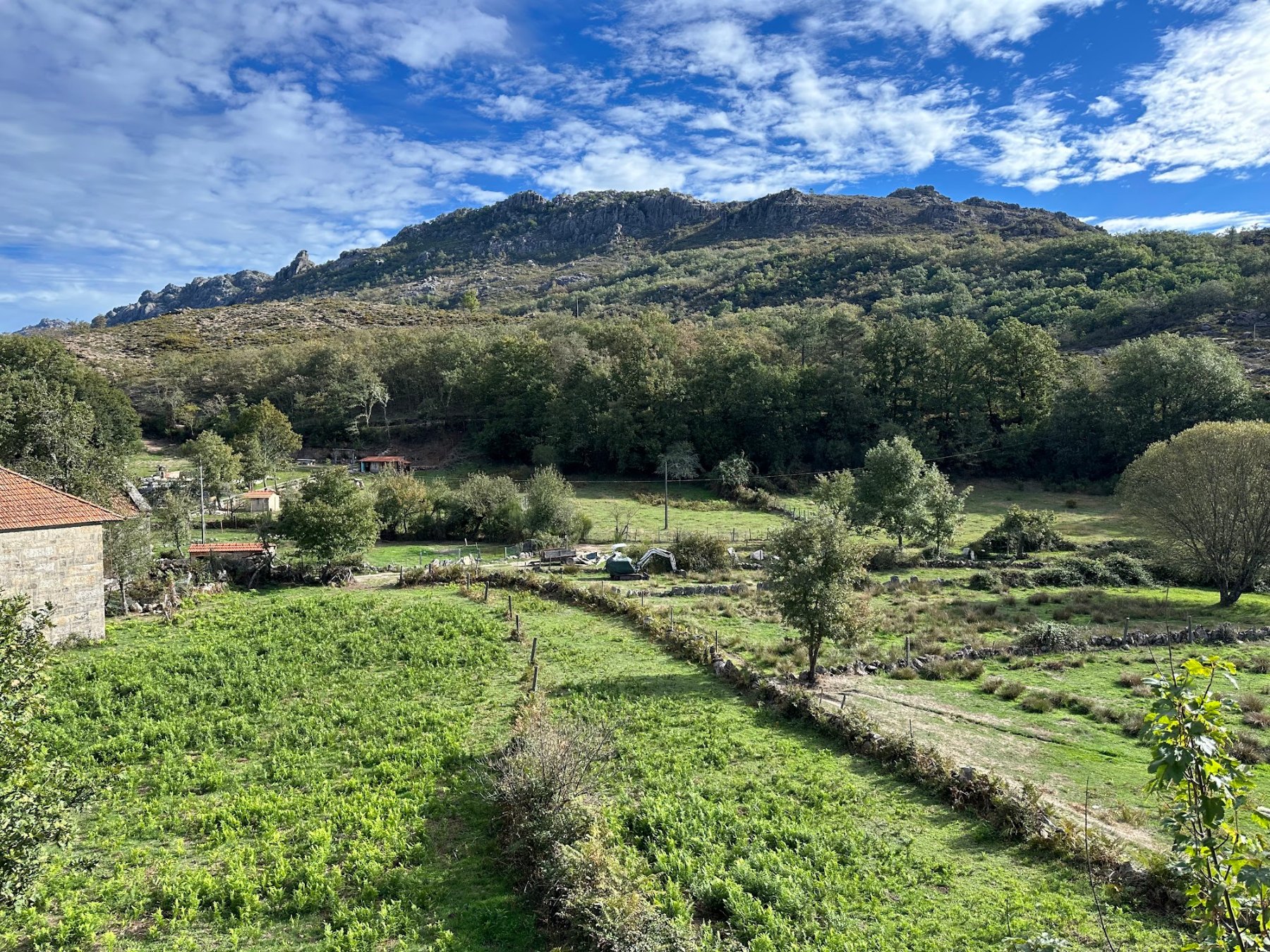
The trail starts at the small Capela do Senhor da Boa Morte in Ameijoeira, a hamlet right on the Spanish border.
Along the river: aqueduct and medieval bridges (km 0–4)
This is the easy, shaded part of the day, staying around 720–770 m.


- Aqueduto de Pontes (km 1.1): an old stone aqueduct, a reminder of how water was carried to fields and mills here.
- Medieval bridge over the Rio Castro Laboreiro (km 1.5): the first of several granite crossings.
- Ponte da Cava da Velha (km 2.6)
- Assureira (km 2.8): a tiny hamlet.
- Ponte do Barreiro (km 3.5) and the communal oven in Barreiro (km 3.9): shared village ovens like this one were once where whole communities baked their bread.


Oak woods and the climb to the plateau (km 4–7)
After Barreiro the path enters the Carvalhal do Barreiro (km 4.4), an oak wood, and passes the Charco de Gontamil (km 4.6), a small mountain pond at around 910 m. From here the trail climbs steadily: most of the day’s 400 m of ascent happens in this stretch, topping out just above 1,000 m.


Arrival in Castro Laboreiro (km 7.3–8.8)
The trail reaches Castro Laboreiro at around km 7.3 and finishes in the village centre. If you read our previous article, you’ll know there’s plenty to reward tired legs: the castle, the Ponte Velha and a hearty meal at O Miradouro do Castelo.
Practical tips
Because the trail is one way, the main thing to plan is how you get back to your car.
- Transport: park in Castro Laboreiro and get a lift or taxi to Ameijoeira, or use two cars. Public transport in the area is very limited. We got a taxi for 15 EUR (October 2026) from Castro Laboreiro.
- Base: Camping de Lamas de Mouro, a few minutes from Castro Laboreiro, is a handy base for the first stages.
- Navigation: the route follows the GR 50 markers and signposts, but phone signal is patchy, so download the GPS track and offline maps before you go.
- What to bring: proper hiking shoes (some sections are rocky and can be muddy), water, snacks, sun protection and a light layer for the exposed plateau.
- When to go: late spring to early autumn. We hiked it in October. In winter, fog and snow make the higher section much harder.
- Food: there are no shops along the way, so pack a picnic and save your appetite for Castro Laboreiro.
Why hike GR 50 Stage 1?
It’s the perfect taster of the GR 50: short enough for a morning, varied enough to feel like a real adventure. In under 9 km you get medieval bridges, an old aqueduct, a communal oven, oak woods, a mountain pond and wide plateau views, and you finish in one of the most charming villages in Peneda-Gerês.
If you’re already spending a weekend in Castro Laboreiro, it’s an easy way to turn a village visit into a proper mountain day.
FAQ
Is it suitable for beginners? Yes, if you’re used to walking a few hours. The official GR 50 site rates it easy; the steady climb in the second half is the only real effort.
Is it a loop? No, it’s one way, so plan transport back to Ameijoeira or leave a car at each end.
Is the trail marked? Yes, with GR 50 markers and signposts, but carry the GPS track as a backup.
How many stages does the GR 50 have? 19, from Ameijoeira to Tourém. We’re hiking them all, one by one.
Rather not plan it yourself?
Guided Peneda-Gerês hikes that leave from Porto.
Stay tuned for the next article in our Discover Gerês series, where we’ll take on Stage 2: Castro Laboreiro to Lamas de Mouro.
Discover Gerês series: #1 Soajo · #2 Castro Laboreiro
More day trips from Porto: Best Day Trips from Porto · Waterfalls Near Porto
Pingback:Best Day Trips from Porto - Porto Expats